
Genoa will be the first city to launch an aerial remote sensing to understand which roofs are most suitable for new photovoltaic systems and to identify risk factors on the roads
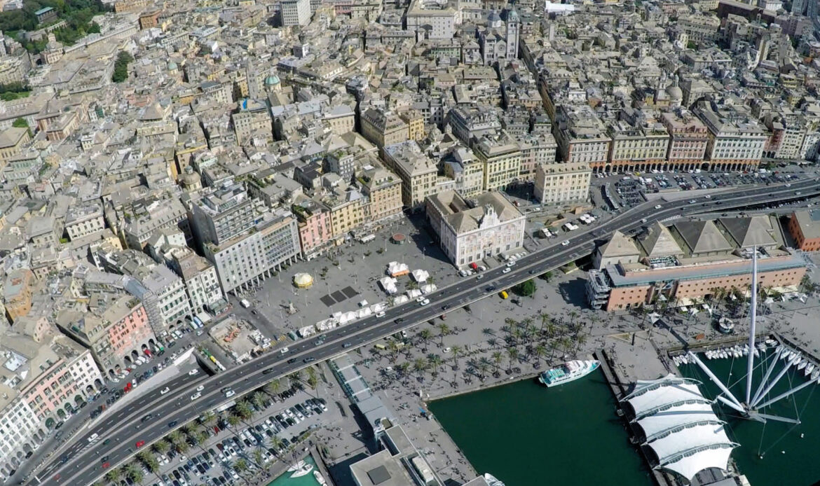
Through an aerial mapping of the entire municipal territory of 245 square km, with a very high resolution level, it is possible to construct, at a photographic and geothermal level, the whole situation of the municipal territory creating a map of over 50,000 roofs, to understand which ones are the most suitable for hosting new photovoltaic systems but also for identifying elements that define the risk factors of the roads, from light points to traffic lights, from pedestrian crossings to crossroads or possible anomalies such as spills at sea and illegal landfills.
It’s about the project Genova future city map, which sees our municipality as the first city in Italy to start aerial remote sensing to mapping urban assets.
The project stems from the collaboration between the Municipality of Genoa, City Green Light, which has been managing the public lighting service since 2020, and Wesii, European leader in the sector of multispectral aerial remote sensing applied to green issues.
“Genoa is a candidate to be the forerunner of a new way of census of its territory – explained the councilor for the environment Matteo Campora – through technological innovation at the service of planning, public and private, in terms of energy and environmental sustainability In fact, what is being created is a tool for understanding and managing the territory, providing concrete support for the transition towards the increasingly integrated model of the Smart City”.